

Alberta and Western Canada
Commercial Drone Services
Aerial imaging, inspection, mapping and confined-space drone work for industrial, construction, energy, aggregate and municipal clients. Pick the job below, or call and describe the site.

Stockpile Measurement
Faster, safer and more accurate than climbing the pile with a prism pole.
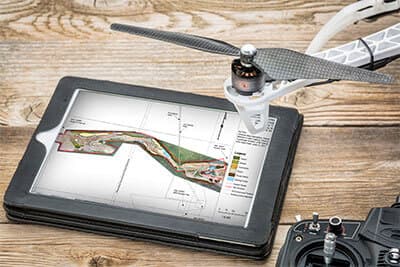
Mapping & Pit Plans
Orthomosaics, surface models and pit plans your engineers can work from.

Drone LiDAR Surveys
Bare-earth terrain, contours and corridor mapping — the ground beneath the vegetation.
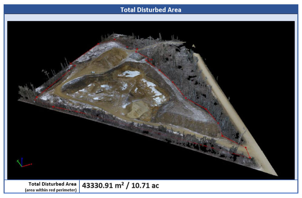
Mine Drone Mapping
Open-pit topo and volumes, highwall and bench, plus underground confined space.
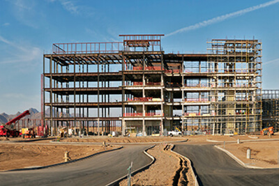
Construction Services
Progress capture, as-builts and earthwork volumes from planning to handover.

Inspection Services
Flare stacks, transmission lines, roofs and towers — an eye in the sky, feet on the ground.
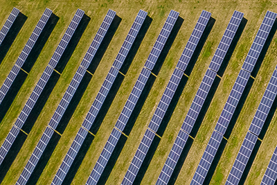
Solar Farm Inspections
Radiometric thermal scans and warranty-claim-grade anomaly reports.
What it costs
Published starting ranges so you can budget before you pick up the phone.
Reply within 1 business day · Edmonton-based, crews mobilize province-wide