Key takeaways
- NDVI flags canola stress days before it is visible on foot.
- The same multispectral pass becomes a variable-rate nitrogen prescription.
- Geo-referenced, timestamped imagery is insurance-grade damage proof.
Canola is the highest-value rotational crop across most of Alberta's prairie counties, and it is also one of the most disease-vulnerable. Sclerotinia stem rot alone costs Western Canadian producers an estimated $500 million in a heavy outbreak year. Multispectral drone imagery — and the NDVI index in particular — has become a practical scouting tool for producers and agronomists trying to catch trouble before it spreads.
What NDVI sees that the human eye cannot
Healthy canola canopy reflects strongly in the near-infrared band (around 800 nm) and absorbs visible red (around 660 nm). When chlorophyll production drops — whether from disease, nutrient stress, water stress, herbicide damage or root injury — the near-infrared reflectance drops and the red reflectance rises. NDVI captures that shift days or weeks before yellowing is visible from the cab of a sprayer.
For a typical Alberta canola crop at the rosette to bolt stage, NDVI values run between 0.45 and 0.75. A localized dip into the 0.2-0.4 range — even in a small patch — signals real stress worth scouting on foot.

Early sclerotinia detection
Sclerotinia infection begins at the base of the petals as they drop into leaf axils. By the time bleached stems are visible from the truck, infection is already widespread. Recent peer-reviewed work from western Canadian universities shows multispectral drone imaging can detect crop-level NDVI depression two to seven days before visible bleaching in field trials.
The operational workflow for a producer:
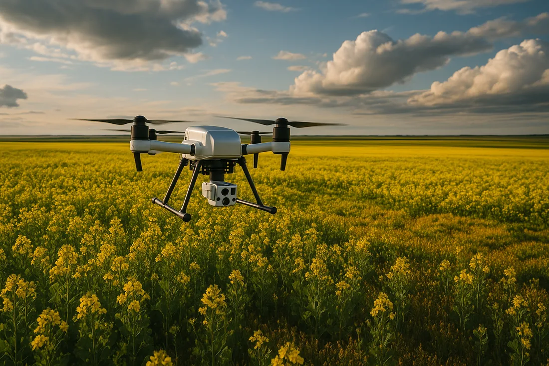
- Fly the quarter at 80-120 m AGL with a MicaSense RedEdge or equivalent multispectral camera (10-15 minutes per quarter section).
- Generate NDVI and NDRE orthomosaic on-cloud (Pix4Dfields, DroneDeploy or similar).
- Flag any NDVI cells more than 0.10 below field median.
- Walk the flagged zones, confirm sclerotinia or rule it out.
- If confirmed at threshold, prescribe a targeted fungicide pass — often just over the affected zones rather than the whole quarter.
The economic case: a $400 fungicide pass on a 160-acre quarter is comparable to roughly 8-10 bu/acre of canola at current prices. NDVI-guided scouting that avoids one full-quarter spray pays for several drone flights.
Variable-rate fertilizer prescriptions
NDVI imagery captured in late May or early June, before topdress nitrogen, identifies low-vigour zones for incremental nitrogen application. Variable-rate maps generated from the NDVI raster feed directly into ISO-BUS rate controllers on most modern air drills and high-clearance applicators. Producers running variable-rate this way typically see 10-25% reduction in total nitrogen input on heterogeneous fields without yield loss — useful for nitrogen costs and for federal On-Farm Climate Action Fund (OFCAF) verification.
Hail and storm damage documentation
When a hail event blows through, NDVI before and after captures the spatial extent of damage with hard timestamp data. The numerics make insurance claims dramatically easier than visual photos alone — the imagery shows what percentage of the quarter is affected and by how much. UAV Imaging routinely flies post-hail surveys for producers under existing crop insurance frameworks.
What clients receive from UAV Imaging
- Geo-referenced NDVI orthomosaic at 3-5 cm per pixel
- NDRE orthomosaic for late-season canopy work
- True-colour RGB orthomosaic for visual cross-check
- Zonal stats by field, including percentage of acres flagged below threshold
- Variable-rate prescription shapefile (when topdress is the goal)
- Optional repeat passes (typically 4 over the growing season — bolt, early bloom, late bloom, swath/desiccation timing)
How a flight day looks
For most Alberta producers, a flight day covers 2,500-4,000 acres depending on field layout and weather. UAV Imaging stages from a central yard, flies each quarter in 10-15 minutes, swaps batteries while cloud processing kicks off, and ships preliminary NDVI tiles by the following morning for in-field decisions.
Field workflow integration
NDVI alone is data. The value is in the agronomist's reading and the producer's action. UAV Imaging works with the agronomist of record on each contract — Richardson Pioneer, Cargill, Nutrien Ag Solutions, independents — to make sure the imagery feeds a decision rather than a JPEG that sits on a hard drive.