Commercial Drone Services in Edmonton, Alberta
UAV Imaging serves Edmonton and the surrounding capital region with aerial imaging, inspection, mapping, and stockpile measurement. Serving Edmonton from our Alberta base, the fleet of Matrice 300 RTK, Mavic 3 Enterprise, and Flyability Elios 2 aircraft covers everything from open-pit mining sites in the Industrial Heartland to confined-space tank inspections at Edmonton-area refineries.
Services available in Edmonton
- Drone stockpile measurement — aggregate, gravel, salt pile volume reports
- Drone mapping & pit plans — orthomosaics, 3D point clouds, regulator-ready CAD packages
- Drone construction services — weekly progress, as-builts, earthwork volumes
- Drone inspection services — flare stacks, transmission lines, roofs, towers
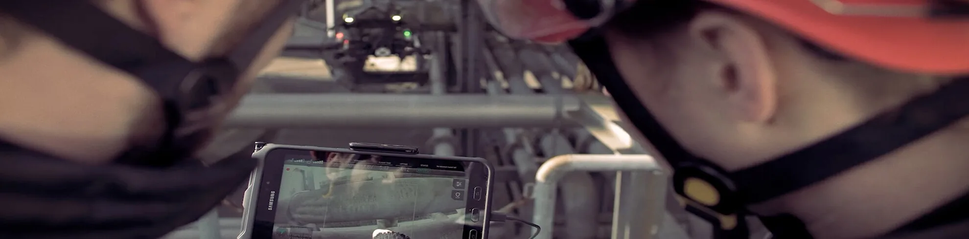
- Drone confined-space inspection — tanks, silos, sewers, mines (Flyability Elios 2)
- Solar farm thermal inspection — radiometric thermal, warranty-claim-grade reports
Industries served in the Edmonton region
- Oil and gas (Refinery Row, Industrial Heartland)
- Construction (downtown highrise, ICI projects)
- Aggregate and gravel operations north and south of the city
- Solar (commercial rooftop and utility-scale)
- Municipal infrastructure (City of Edmonton, surrounding counties)
Drone survey and surveying in Edmonton
Most Edmonton-area requests that start as “drone surveying” end up as one of three jobs: a volumetric survey of stockpiled material, a topographic survey of a site before or during earthwork, or an as-built capture of something already constructed. All three fly the same way — a planned photogrammetry grid, RTK positioning, ground control where the tolerance demands it — and differ mainly in what comes out the other end.
- Volumetric survey — aggregate, gravel, sand, salt and reclaim piles measured against a base surface. See drone stockpile measurement.
- Topographic survey — contours, DSM/DTM and break lines for design, earthwork balance and progress claims. See drone mapping and pit plans.
- LiDAR survey — where vegetation has to be penetrated or the deliverable is bare-earth ground. See drone LiDAR surveys, and LiDAR vs photogrammetry for which one a given site actually needs.
A drone survey does not replace a legal survey. It does not set pins, and it is not an Alberta Land Surveyor’s plan. What it replaces is the repeat measurement work — the monthly pile count, the progress topo, the as-built — that a crew would otherwise walk. For that work, properly executed photogrammetry with RTK/PPK ground control delivers volume accuracy within 1–2% of ground truth, which is the same figure we publish on our drone vs ground stockpile survey comparison.
What an Edmonton drone survey delivers
Every survey leaves with the raw capture and the processed products, in formats your engineer, surveyor or accountant can open without asking us for a converter:
- Georeferenced orthomosaic (GeoTIFF) and a web-viewable copy
- 3D point cloud (LAS/LAZ) and textured mesh where the scope calls for it
- Digital surface and terrain models, contours at the interval you specify
- Volume report with the base surface method stated, signed and dated
- CAD-ready exports (DXF) for drop-in against an existing design file
- Coordinate system declared up front — UTM Zone 11N/12N or 3TM as the project requires
Turnaround on a standard single-site capture is measured in days, not weeks. Recurring work — a monthly pile count, a fortnightly construction progress set — is scheduled as a standing booking so the same flight plan, the same control and the same base surface are reused every cycle. That repeatability is what makes period-over-period numbers comparable; a one-off flight every few months is not a trend line.
Edmonton airspace and authorizations
The capital region is one of the more constrained pieces of airspace in Alberta to fly commercially. Edmonton International (CYEG) sits south of the city with controlled airspace that reaches over Leduc, Nisku and Beaumont — exactly where much of the region’s industrial and logistics construction happens. Villeneuve (CZVL) covers the northwest approaches toward Spruce Grove and St. Albert, and Cooking Lake (CEZ3) sits east of Sherwood Park near a good deal of Strathcona County work. A site can easily fall inside more than one.
Flying there is not a matter of launching and hoping. Controlled airspace requires a NAV CANADA RPAS Flight Authorization, and the request has to be submitted, coordinated and approved before the crew is on site. UAV Imaging holds active coordination arrangements and files authorizations on the client’s behalf as part of pre-flight, which is why an airspace check is the first thing we do with a new Edmonton address — before quoting a date. Sites inside the Industrial Heartland carry the additional wrinkle of facility-side permitting and ground escort, which we schedule around rather than discover on the day.
Working through an Edmonton winter
Edmonton loses a meaningful share of the year to conditions that ground poorly equipped operators, and a crew that stops flying in November is a crew that leaves a four-month hole in your volume record. Cold-weather operations down to −25 °C are routine with the Matrice 300 RTK fleet, with batteries conditioned and cycled accordingly. The practical limits are wind, visibility and precipitation — not temperature.
Snow cover does change the survey, and it is worth saying plainly: snow on a stockpile is material the drone will measure as if it were product. Winter captures are either flown against a snow-corrected base surface or scheduled around a melt or a push, and which of the two applies gets agreed before the flight, not argued about after the report.
Service area
UAV Imaging crews regularly deploy across the following communities: Edmonton, Sherwood Park, St. Albert, Spruce Grove, Stony Plain, Leduc, Beaumont, Fort Saskatchewan, Devon, Strathcona County, Parkland County. Projects outside the immediate region are quoted with mileage built in.
Why hire an Alberta drone operator
Alberta-based crews mean faster mobilization, lower travel charges, and pilots familiar with regional airspace — including controlled airspace around Edmonton International, Calgary International, and Red Deer Regional. UAV Imaging pilots hold Transport Canada Advanced RPAS certifications and operate under standing NAV CANADA coordination agreements where required.
Compliance and credentials
- Transport Canada Advanced RPAS certified pilots (every crew member)
- $5M aviation liability insurance (well above the 2026 $2M minimum)
- ISN, ComplyWorks, Avetta registered
- Site-Specific Operations Risk Assessment (SORA) capable for higher-risk work
- 2026 Remote ID compliant fleet