DJI Mavic 3 Enterprise
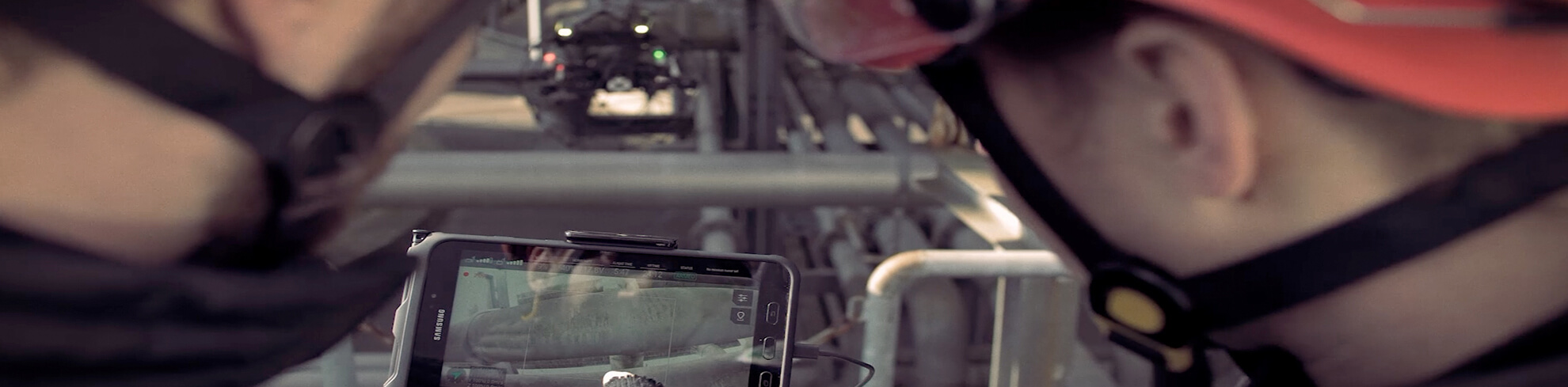
The DJI Mavic 3 Enterprise is UAV Imaging's rapid-deploy aircraft — the platform that flies the inspection or survey job too small or too tight-access to justify the Matrice 300. It pairs a Four Thirds CMOS sensor with a 56x hybrid zoom telephoto camera and an optional RTK module, packaged into an airframe that lifts in under five minutes from a truck tailgate.
Specifications
| Spec | Value |
|---|---|
| Wide camera | 4/3 CMOS, 20 MP stills, 5.1K/50fps video, mechanical shutter |
| Telephoto camera | 1/2-inch CMOS, 12 MP, 162mm equivalent, 56x hybrid zoom |
| Flight time | 45 minutes (no payload) |
| Transmission | OcuSync 3 Enterprise, 15 km range |
| Wind resistance | 12 m/s |
| Operating temperature | -10°C to +40°C |
| Positioning | GPS + Galileo + BeiDou; optional RTK module (cm-grade) |
| Obstacle sensing | Omnidirectional |
| Mass | 0.92 kg |
| Loudspeaker | Optional, for public-safety announcements |
| RID compliant | Yes, via firmware (2026 mandate) |
How UAV Imaging uses it
- Quick-turn building inspection — roof, facade, parapet imaging where mobilizing a Matrice would be overkill
- Urban site survey — tight-access downtown and suburban construction sites where the Mavic's smaller footprint matters
- Reconnaissance flights — pre-job scout before committing the Matrice + crew for a larger deliverable
- Marketing and brand video — 5.1K cinema-quality video for client promo and case-study cuts
- Insurance and forensic claims — fast-deploy after-event imaging (hail damage, fire scenes, post-storm roof condition)
- Telephoto detail inspection — 56x hybrid zoom resolves rebar, weld seams and bolt patterns from safe stand-off
How it compares to the Matrice 300 RTK
The Matrice 300 RTK is the workhorse for sustained industrial inspection — heavier payload bay, longer flight time, IP45 weather sealing, dual-redundancy critical systems, and capacity for radiometric thermal plus methane sensors. The Mavic 3 Enterprise is the choice when a job needs speed of deployment, a smaller footprint, urban-airspace agility or 5.1K cinema video. UAV Imaging dispatches whichever airframe matches the deliverable rather than forcing one platform to fit every job.
Compliance
- Transport Canada Advanced RPAS pilots on every flight
- Remote ID compliant via firmware (mandatory November 2026)
- $5M aviation liability covers all UAV Imaging operations
- NAV CANADA airspace authorizations submitted as part of pre-flight where required