

Blog

about-our-commercial-drone-services

Commercial Drone Insights for Western Canada

Field notes on aerial imaging, inspection, mapping, and the rules shaping commercial drone work.

Posted By - On
Flying an Alberta site after a loss event: the record worth capturing in the first 48 hours, what an adjuster can and cannot use aerial imagery for, where thermal helps on a post fire structure, and why the undamaged baseline is the thing most owners do not have.

Posted By - On
Ground, vegetation, building and noise classes in a LiDAR point cloud, read as a non-specialist. Why a bare earth surface is a filtering decision rather than a measurement, how misclassification turns into a wrong volume, and the checks a buyer can run without specialist software.

Posted By - On
One pile, one roof, one small parcel. Where the economics of a drone survey stop working on a small Alberta site, what the mobilization minimum actually pays for, and the batching, scoping and scheduling options that make a small job worth flying anyway.

Posted By - On
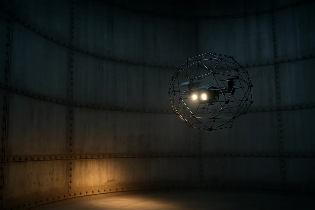
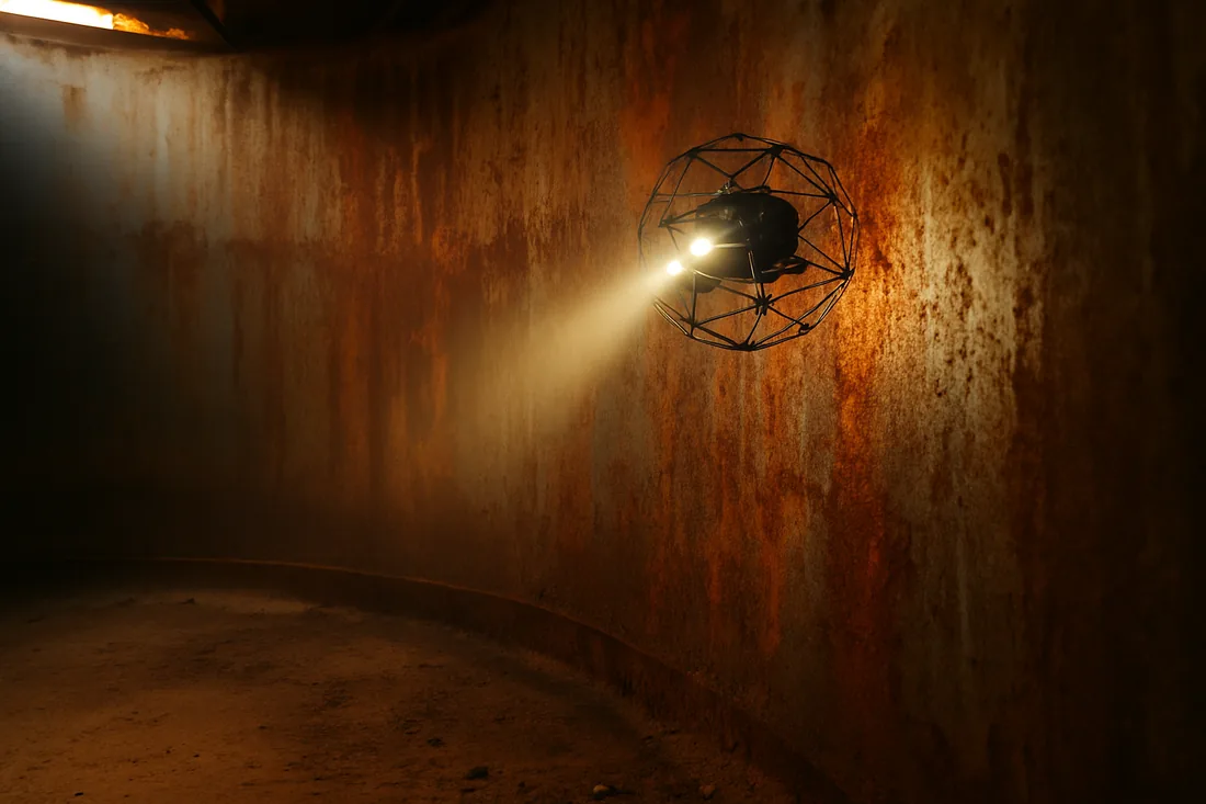
Measuring stored material inside a salt shed, grain terminal, dome or storage building means flying without GPS, in dust, in confined space, with a collision-tolerant aircraft. What the method is, what accuracy to expect, what the atmosphere and permit requirements are, and when a drone is the wrong tool.

Posted By - On
An orthomosaic, a surface or a point cloud should open in the GIS, CAD or asset system your staff already use, without hiring a specialist. The formats to ask for, the projection request that prevents a shifted layer, the file size problem nobody warns you about, and what to do when the data lands in the wrong place.

Posted By - On
A dated drone capture is often the only record of what a site looked like on a given day. What makes that record hold up in a claim, a contract dispute or a regulatory file: unedited originals, intact metadata, a written method record and a chain of custody that does not depend on one person's memory.

Posted By - On
Freeboard to the spill point, berm crest and slope geometry, and stored volume against design capacity, measured from the air. What a drone survey of an Alberta containment facility can and cannot establish, why the water surface is the hard part, and the monitoring cadence a regulator-facing record needs.

Posted By - On
An owner or general contractor who flies a site before the bid goes out gives every bidder the same picture of the ground. What to capture, what to put in the bid package, the licence wording that lets bidders actually use it, and why it is the cheapest defence against a site-condition claim after award.

Posted By - On
Four Alberta site hazards reshape a drone flight plan before airspace is even considered: energised conductors, turbine rotor zones, flare stacks and active drilling. What each one actually does to the aircraft, who controls the standoff, and the coordination a buyer has to start weeks before the flight date.

Posted By - On
A contractor's drone hits something, or lands where it was not supposed to, on your Alberta site. What happens in the first hour, which external reports are the operator's duty and which are yours, why the drone becomes an aircraft occurrence rather than a broken tool, and the clauses that decide the outcome long before the flight.

Posted By - On
A drone survey you cannot open is a drone survey you did not buy. Which deliverable formats your own staff can already read, what a point cloud and an orthomosaic weigh on a laptop and a network share, the free viewers that cover most of the gap, and the three lines to put in a scope so the data lands on software you already own.

Posted By - On
Most drone inspection work exists to avoid an outage. This is the other case: the turnaround is already scheduled and the drone work has to live inside it. Which of the three windows a scope belongs in, why a cold unit kills thermal, why the scope freeze and not the outage start is your deadline, and how the drone competes with the trades.

Posted By - On
You are under offer on an Alberta industrial or development property and the condition period has a date on it. Who can authorise a flight when you hold no title, what aerial capture can and cannot settle inside a due diligence period, and the confidentiality and data ownership terms to agree before the drone leaves the ground.

Posted By - On
Subtracting a design surface from a drone as-built is arithmetic. Getting the two surfaces into the same frame is the actual job. Why these comparisons fail on datum, base extent and what the camera cannot see rather than on drone accuracy, and what the earthworks buyer has to supply before the cut and fill map means anything.

Posted By - On
Changing drone vendors is easy. Keeping three years of volumes comparable across the change is not. The handover list that preserves a measurement series: base surfaces, datum and geoid, the base station coordinate, raw imagery and control, and why a mid-period switch produces a volume jump nobody can explain.

Posted By - On
A site that touches a provincial highway, a municipal road allowance or a rail corridor needs two separate permissions, and only one of them is about the air. Who controls the ground, why traffic counts as bystanders you cannot clear, how the flight gets planned around a live corridor, and what it does to the schedule.

Posted By - On
No cellular signal and a blocked sky are two different problems that both get described as bad GPS. What each one actually breaks, how centimetre-grade accuracy is held without a correction stream, where ground control becomes mandatory, and what the buyer trades in field time and schedule.

Posted By - On
What an underwriter and an appraiser are each trying to establish about an Alberta commercial property, why a renewal conversation runs on whatever evidence is in the file, and what a dated aerial capture flown before the renewal date adds that a ground-level photo set cannot.

Posted By - On
Almost every drone survey quote carries an accuracy number and almost none of them define it. Absolute versus relative accuracy, horizontal versus vertical, what RMSE is measuring, why ground sample distance is not accuracy, and the independent check that lets a buyer test the claim instead of trusting it.

Posted By - On
Two quotes for the same site can differ by a wide margin and both be honest. The cost drivers on an Alberta drone survey: mobilization distance, the accuracy specification, ground control, how many deliverables you asked for, reporting depth and site access.

Posted By - On
A drone measures volume, a scale measures mass, and the two only meet through a density figure. Where aggregate inventory reconciliations actually break, how to tell a survey problem from a book problem, and how to reconcile the two numbers properly.

Posted By - On
Access, escorts, shutdowns, ground control and the reschedule rule. What an Alberta site owner should settle before the drone crew arrives, so one mobilization produces a usable deliverable instead of a return trip.

Posted By - On
Consent, notification and privacy when a commercial drone survey overflies or overlooks adjacent property in Alberta. What the aviation rules actually require, where privacy law is the real question rather than airspace, and the notification habits that keep a routine flight from becoming a complaint.

Posted By - On
A drone inspection report is the whole product, and a thick one is not the same as a useful one. What a defensible deliverable contains, the tells of a report built to look thorough rather than be acted on, and the checks an Alberta buyer can run on a sample report before signing anything.

Posted By - On
Which cost code aerial capture actually lands in, why treating it as new spend is the reason it stalls in approval, and how Alberta buyers justify it against the specific line it displaces: survey crew days, rope access and scaffolding, aviation charter, downtime and rework.

Posted By - On
The honest limits of aerial capture: ground under closed canopy, anything below water, the inside of a structure, anything below grade, and the interior of an assembly. What each blind spot costs an Alberta buyer who does not know about it, and the ground method to pair with the flight so the gap is covered rather than discovered late.

Posted By - On
A drone does not replace a total station, it replaces the part of the job that was never suited to one. Where discrete instrument measurement still wins, where aerial capture wins, why most real Alberta sites use both on the same visit, and how to write a scope that says which method is producing which number.

Posted By - On
What wildfire smoke does to an Alberta drone survey: the airspace restriction around an active fire, why smoke drains contrast out of photogrammetry and breaks multispectral calibration, why it shuts down solar thermal work while leaving other thermal jobs intact, and how to scope and schedule summer capture so a smoke week costs you a delay instead of a deliverable.

Posted By - On
When Alberta drone survey data needs a professional sign-off and when it does not: what only an Alberta Land Surveyor can produce, where a P.Eng. carries the accountability, which drone deliverables need neither, and what to ask for so your professional can actually accept the data.

Posted By - On
What snow cover does to a drone survey in Alberta: why fresh snow starves photogrammetry of the texture it needs, why a snow-covered pile measures larger than the material in it, and how to schedule and scope a winter volume or topographic survey so the number still holds up.

Posted By - On
What a thermal camera and a visual camera each actually show on a commercial roof, why radiometric data is the difference between a picture and evidence, and when a building owner should be buying both rather than choosing between them.

Posted By - On
What an orthomosaic actually is, which measurements are safe to take off it, and the distortions and artefacts a non-specialist should learn to recognise before making a decision on an aerial deliverable.

Posted By - On
NAD83, UTM, Alberta 3TM and 10TM, site grids and the vertical datum — how to choose the coordinate reference for an Alberta drone survey, and why the wrong choice shows up as a deliverable that will not line up with the data you already have.

Posted By - On
The scope, accuracy, deliverable and compliance clauses an Alberta buyer should write into a drone survey RFP so the bids are comparable, the result is usable, and nobody argues about what was bought after the crew has left site.

Posted By - On
Orthomosaic, point cloud, DSM, DTM, contours, 3D mesh, volumetric report — what each drone survey deliverable is, which one your engineer or surveyor actually needs, and the file formats to ask for before the flight.

Posted By - On
Certification, insurance, safety prequalification and data handling — the questions procurement and site teams should ask before putting a drone contractor on an Alberta industrial site, and what a good answer looks like.

Posted By - On
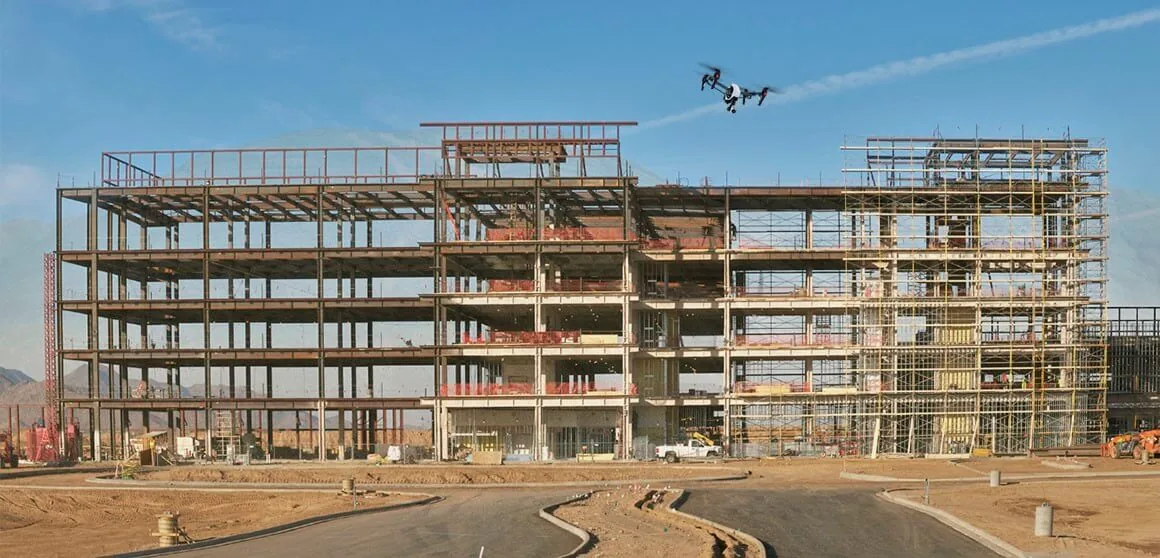
Weekly site flights are cheap. The return shows up in fewer disputes, faster billing, tighter subcontractor coordination and a defensible as-built record. An honest look at cost versus value for general contractors.

Posted By - On
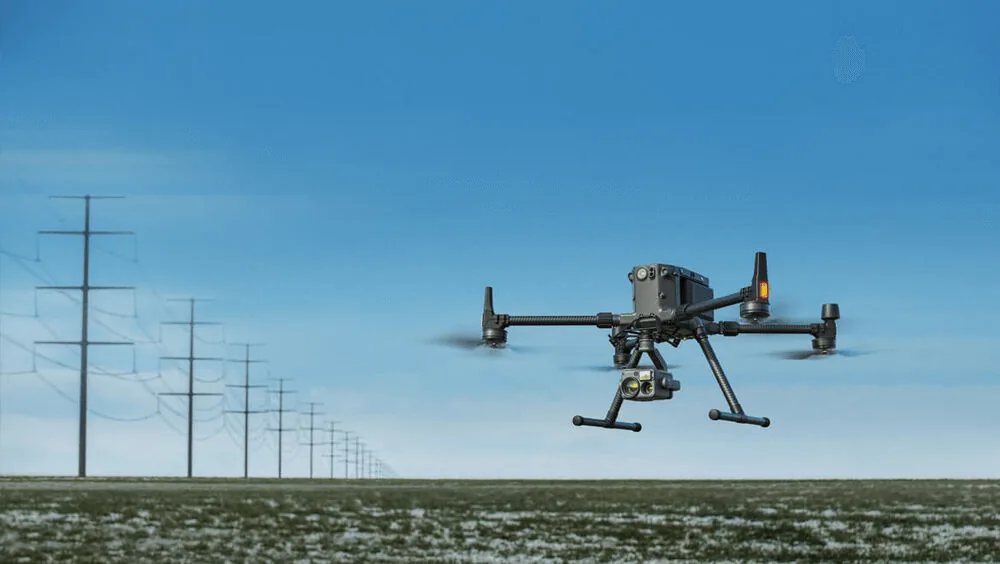
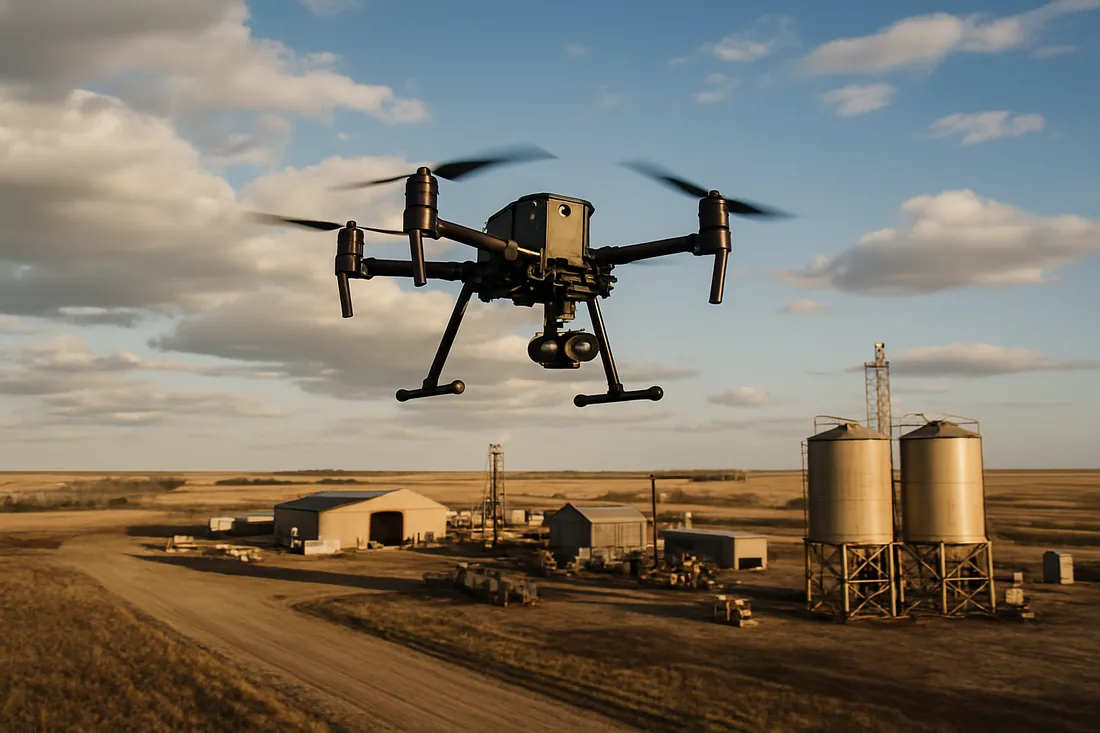
There are a lot of articles and blogs out there that describe in detail all the features of the M300 drone and the line of new payloads that are available on this platform. Instead of just echoing this, I would like to briefly outline in a practical way what these new features and payloads can offer our clients in the field.     

Posted By - On
In the last few years, drone technology has become more advanced. As a result, drone mapping has become more accurate and useful to companies of all kinds. But how does it differ from modeling?

Posted By - On
During this challenging time individuals and businesses are trying to cope with this evolving environment of non-essential operations and social distancing. Many of us have seen the images of drones being used by authorities to clear streets and enforce quarantines. Some drones have been equipped with liquid storage payloads and deployed to efficiently distribute disinfectant over public areas. Apart from these direct applications designed to limit the spread of covid-19, how can drones be deployed to help limit the impact on businesses as they meet the demands of this new business environment?

Posted By - On
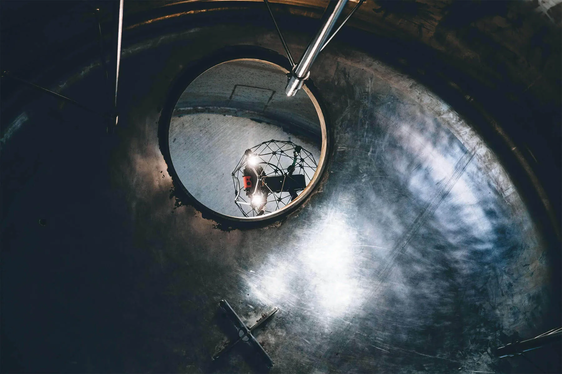
Doing any kind of work in confined spaces is difficult and dangerous. When it comes to inspecting these areas, having humans do the work manually is not efficient. Our confined space drone inspections allow your business to get the results you need with:

Posted By - On
There are a lot of articles and blogs out there that describe in detail all the features of the M300 drone and the line of new payloads that are available on this platform. Instead of just echoing this, I would like to briefly outline in a practical way w

Posted By - On
During this challenging time individuals and businesses are trying to cope with this evolving environment of non-essential operations and social distancing. Many of us have seen the images of drones being used by authorities to clear streets and enforce q

Posted By - On
In the last few years, drone technology has become more advanced. As a result, drone mapping has become more accurate and useful to companies of all kinds. But how does it differ from modeling?

Posted By - On
Doing any kind of work in confined spaces is difficult and dangerous. When it comes to inspecting these areas, having humans do the work manually is not efficient. Our confined space drone inspections allow your business to get the results you need with